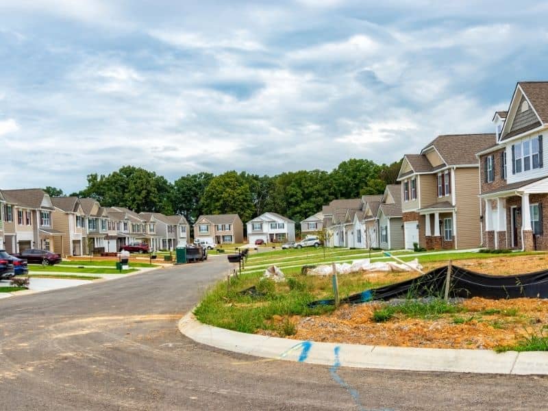

A sloped lot can look ready for a house from the road, then punish anyone who trusts that first impression. Drone LiDAR Mapping strips away the guesswork by measuring the whole surface from above, catching the elevation changes that decide where a home can actually sit. Ground that seemed like an easy pad might drop off harder than it looked, and a gentle-looking rise might hide a steep face. On sloped ground, that measured picture separates a workable building plan from an expensive mistake.
Chart Elevation Changes Across the Whole Lot
Slope rarely spreads evenly across a property. One corner might climb fast while another sits nearly flat, and the eye struggles to judge those differences from the ground. LiDAR captures the entire surface as a dense set of points, so the slope pattern shows up as data rather than impression.
That full picture guides the big decision of where to build. A spot that looks fine on foot might sit in a pocket that drains poorly, while a better pad waits a little further uphill. Seeing the whole lot at once helps place the home where the ground cooperates.
Read Natural Breaks in the Terrain Before Design Begins
Land has structure. Ridges, dips, benches and steep transitions all shape what a site can hold, and they steer where a house and its access make sense. LiDAR reveals these features clearly, so the design starts with the terrain instead of fighting it later.
Those breaks carry real weight for placement. A flat bench partway up a slope might make an ideal building shelf, while a steep transition nearby rules out easy access. Reading the terrain first lets the design lean into what the land already offers.
Pair Possible Building Areas With Driveway Approach Needs
A good pad is only half the puzzle. The driveway still has to reach it from the road, and a great building spot loses its shine if the approach climbs a grade that’s brutal to drive or costly to build. LiDAR data lets the team test the pad and the approach together.
Looking at both at once avoids a common trap. Owners fall for a view or a level spot, then learn the driveway needs heavy cutting to get there. Pairing the pad with a realistic approach keeps the whole site plan honest.
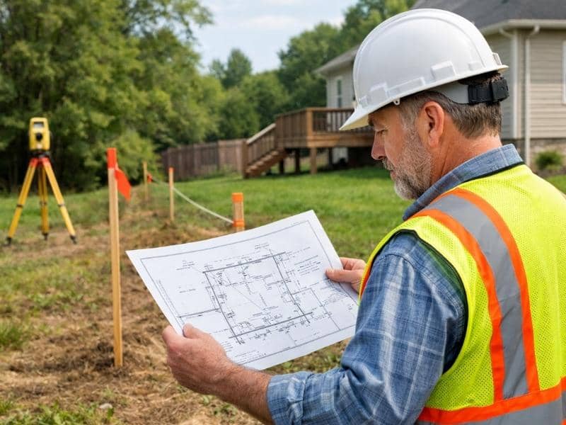
Feed Grading Discussions With Better Surface Data
Grading talks go nowhere without reliable ground information. LiDAR gives engineers and builders a detailed surface to work from, so conversations about cuts, fills and retaining features rest on numbers rather than hunches. The plan for reshaping the site starts from where the site actually is.
Better data trims waste. When the team knows the real grades, they can size earthwork and retain features to the job instead of padding the budget for the unknown. Solid surface information makes those decisions cheaper and clearer.
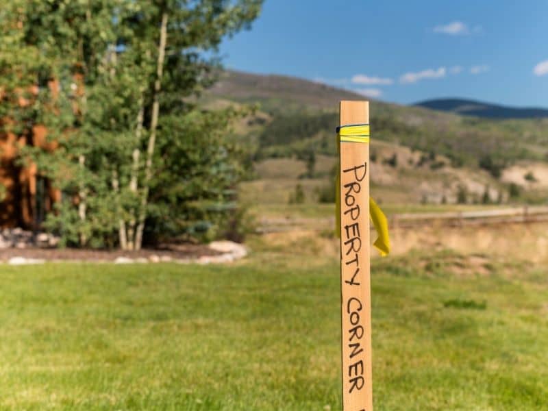
Head Off Surprises Before Clearing or Site Prep Starts
Money spent clearing and prepping a site is hard to claw back. Early mapping can flag a terrain problem before crews and equipment show up, which saves owners from paying to uncover an issue the hard way. The surprise arrives on a screen instead of an invoice.
That head start changes the mood of a project. Instead of reacting to bad news mid-dig, the team plans around known conditions from the beginning. Catching trouble early keeps the budget and the schedule under control.
Frequently Asked Questions
Can Drone LiDAR Mapping show the best area for a house pad?
It points the way. By mapping elevation patterns across the lot, it highlights where the ground sits flatter and drains better, which guides the search for a workable pad. Professionals still confirm the final spot, but the data narrows the options fast.
Is LiDAR useful when a sloped lot has trees or brush?
Often yes. In some conditions LiDAR captures ground detail that standard aerial photos miss, since it can pick up surface information where vegetation blocks a plain overhead view. That makes it valuable on lots where brush hides the terrain.
Can slope data affect driveway cost?
Definitely. Steep approaches, sharp grade changes and longer access runs all push driveway work up in price. Knowing the slope early lets owners weigh a cheaper approach against a pricier one before they commit to a building spot.
Who uses LiDAR data on a sloped residential site?
Several people rely on it. Surveyors, engineers, builders, designers and property owners each use the elevation picture to make decisions, from placing the home to planning the grading and access.